Sunday, July 21, 2013

Back to Dayton, NV (check out what we saw along the way)

July 6-22 (Still here), 2013

From Ely we took Route 6 back across the state and ended up at the Saulsbury Wash Rest Area again.  We stayed there for 3 nights.  We took a trip over to Yosemite area to check out the camping available.  We stopped in the Mammoth Lakes campground and was told they charge $48 to $52 a night and there was nothing available until late in August,  soooo....we just drove around and went back to Saulsbury Wash RA.  This is what we saw in our day trip to Yosemite (we did not go into Yosemite).  Nice day trip though.


The scenery was great!!!
 Our next stop was in Yearington, NV, just to break up the trip.  Look what we drove into....

Luckily they got this under control within 3 days.

On to Dayton......  One of the places that was a must see was Lake Tahoe.  The water in Lake Tahoe is so clear and blue (toilet bowl blue). I took over 75 pictures...can't post them all.


Lake Tahoe Blue.


Trees were pretty impressive also.


Cute gift shop!


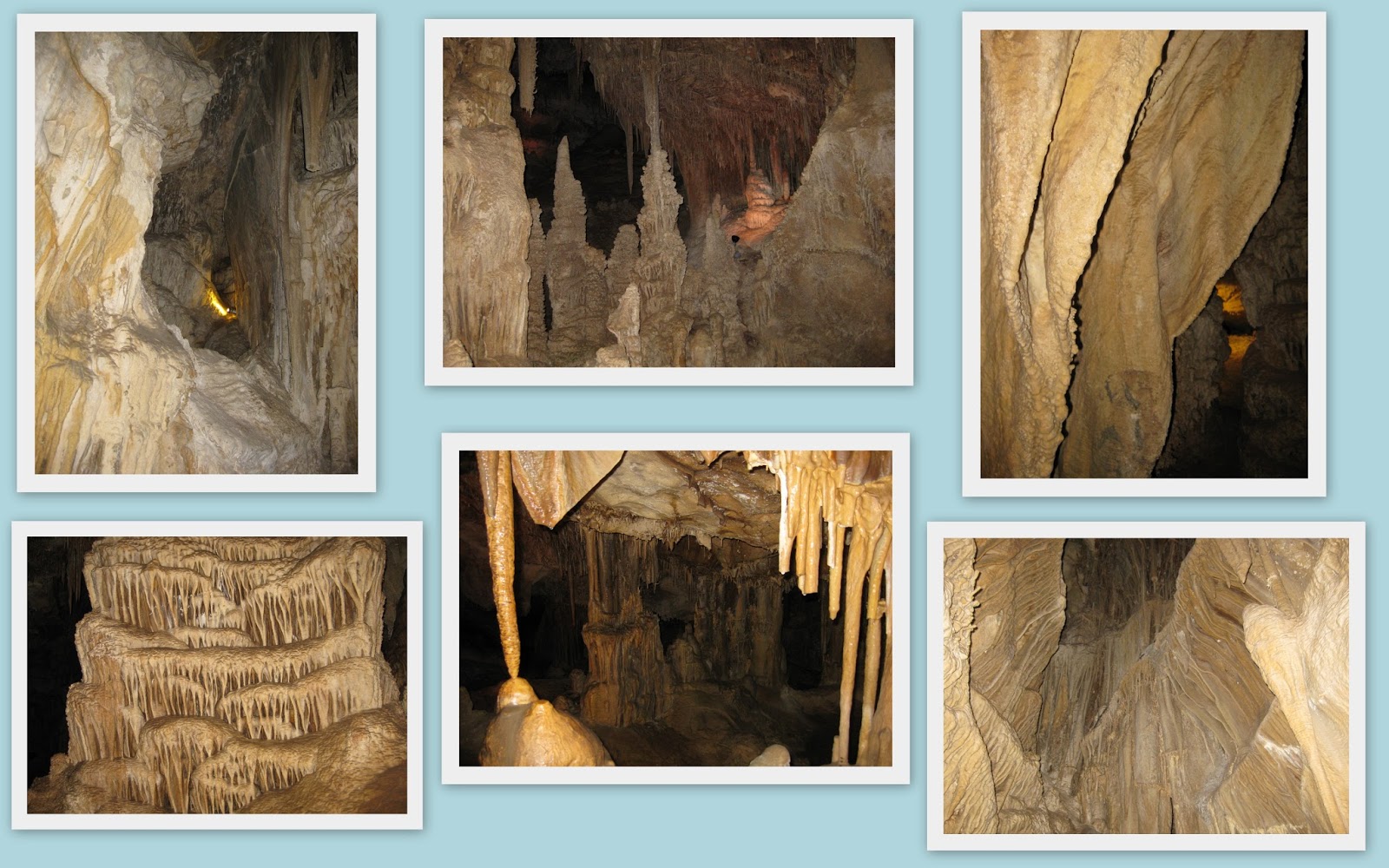
Should someone  think twice about going hiking in this area????


Abby SOOOOOOO wanted to get into the water!!!!

ON A DUNE BUGGY RUN!!!


Abby liked this river.  It was shallow enough for her to walk in.

Scenery of the area between Virginia City to Lake Tahoe on route 341 and 431.
It has been a wee bit warm here for the last couple of days.....

Good thing we aren't made of ice cream!!!!
Ice cream......some in the freezer, yum!

This concludes our transmissions for now.  I am now caught up.  We do have plans to do a few more day-trips from Dayton.  We will be leaving Dayton on August 9th and will be headed a little north, to where??


Safe travels and stay healthy.

Life is a Journey...Enjoy it.

Barb, Jim & Abby

Remember: click on pictures and F11 to view in full screen.

Great Basin National Park (that pretty much says it all)

June 27-July 5, 2013.

Great Basin National Park is in a remote location on the East side of Nevada off Hwy 50.  A great way to get away from it all!!!  (more photos of Great Basin NP)

We camped at the elevation of 7500. Very comfortable temperatures...as the rest of the country heated up.


Lehman Creek.  We were camped about 30 feet from it for 9 nights.
Abby is one lucky puppy...gets to wade in all of the creeks.
I'm not sure if I could have, the water was only 55 degrees.
True snow run off.... to chilly for me.

A trip to the top of Wheeler Peak  in The Great Basin National Park.
Elevation was over 10,000 feet.

A wind farm....great use of renewable energy!!!
Even ranchers in Nevada have a sense of humor!


Lehman Caves.  One of the better cavern formations we have seen yet.

GHOST TOWNS

Abandoned buildings out in the desert.
I mentioned to Jim that it would be weird if we found bones in the house in the
upper right house....we did find bones, it was cow bones.

The Ghost town & cemetery of Osceola, NV

The Ghost town of Minerva, NV

We were going to head over to Salt Lake City, UT to visit an army buddy of Jim's but the temperatures in SLC was in the triple digits, soooo.....we decided to head where the weather was cooler.  So back to Western Nevada via route 6 (now THAT should be called the Loneliest road in Nevada).  This sign was posted on route 6......

Now that makes you think twice and check your gas gauge before
traveling down that road!
So back to Dayton, NV we go......

Safe travels!!!

Barb, Jim & Abby

Remember: click on the pictures, press F11 to view in full screen.

Eureka & Ely, NV (Illapah Reservoir & Ely Train ride)

June 23-27, 2013

We spent a little bit of time in Eureka, mostly taking pictures and getting gas.  Eureka is the home of the famous Eureka Opera House, had to get a picture of that.  It was closed when we went though the first and second time (remember, we came thorough on Friday to get the mug for the community)


Lincoln Hwy Marker, Road coming into town, the Eureka Hotel, the
Eureka Opera House, railroad crew car, Eureka Sentinel Museum,
and the Eureka Fire House.

Eureka has thrown their heart into restoring the building that had build that town.  They are doing a fine job!!!!

On our way to Ely we stopped at the Illapah Reservoir/BLM campground.  Free Camping!!!! with great scenery and dune buggy trails!!!  We stayed there for 4 nights!!!


Ely was 38 miles from Illapah Reservoir so we didn't run into town every day. 

Scenery along the way, the Hwy 50 sign, 100 year old train tunnel,
and the Open Pit mine just outside of town.

On the 26th we went into Ely to ride the train.

Scenery along the way.

Dune Buggy ride!!!!  The Ghost town and cemetery of Hamilton.  The wild west...deserted and falling down.


Now the reason for the great mug chase.  June was the 100th anniversary of the Lincoln Highway (Hwy 50).  They were giving away mugs to all travelers that came to each town along the route and visited all 7 communities.  Jim and I did that!!!  Also if you took a mug shot with your mugs and turned it into the Ely Chamber of Commerce they would give you an 8th mug to complete your set.

Here are the "MUG SHOT" of Jim and I with the mugs!!!!


This is the coveted 8th mug.


NOW,  I have full filled the quest for the Highway 50 Mugs!!!! 

The really sad thing though, people have pryed the Lincoln medallion out of all of the Lincoln Highway markers along the route.   You might be lucky to even find the Lincoln Highway marker in Ohio along Route 30.

More adventures to come....until later.

Barb, Jim & Abby.

Reminder: click on the picture collage and hit F11 for full screen view.

Saturday, July 20, 2013

Austin, NV (Hickson Petroglyph Recreaction Area)

June 20-23, 2013


We stopped for only a short time in Austin.  But what I do remember about the place is the road going out of town.  The road was straight up and then just started winding in and out of the mountains.  Why is it that the abrupt drop off has to be on my side of the vehicle!!!!


Austin, NV in the valley, scenery of the area, an old building in Austin,
camp site and scenery from the campsite.
  I thought that cloud looked like a space ship. 
The Archway into a ranch was made from antlers!
 Even though we camped at the Hickison Petroglyph Area I just didn't see a reason to take pictures of more Indian writings.  Sorry.

While I was in Austin, the lady in charge of stamping survival guides and handing out the mugs mentioned that they were running low in all of the communities.  Oh no!!!  That will never do.  To come this far and not be able to get all of the mugs....well I had a plan for that.  On Friday we took off and traveled the remaining 200 miles and get all of the mugs before they were gone.  So we beat feet to Eureka, Ely and Great Basin in one day.  So now I have all 7 mugs and all of the stamps in the survival guides.  The reason that securing all 7 mugs were so important...........more about that when we get to Ely!!!

On to Eureka!!!!

Is this crazy or what!!

Barb, Jim & Abby

Remember: click on photos and press F11to see in full screen.

Fallon, NV (Grimes Point Petroglyphs, & Pyramid Lake)

June 16-20, 2013

We camped near the Grimes Point Petroglaphs trail.  Again, if modern day teenagers write on things it is called graffiti, if it's over 400 years old it is called Petroglaphs.  The caves and the Petroglaphs were interesting.

The black dot on the cave floor was Abby, she was tired.

Camp site (see if you can spot the camper), the hotel in Fallon,
sand mountain recreation area, and a chopper that went over really low.
While we were camped in the Fallon area we were right across from the NAS training facility (Navy's
premiere aviation training facility).  They started flying at 8AM and quit at 10PM.  In between time
we were in seventh heaven with the airshow that they were putting on.

Took a ride up to Fernely, their claim to fame is Pyramid Lake

The lake was named for the pyramid shaped rock in the lake.
Catchy, uh?

This is Middlegate Station, an old pony express station.
Now the home of the Monster burger.
They have great regular burgers too. 

Got my mugs from Fallon and Fernely and the stamps in the Hwy 50 survival guide.  Only 4 more to go!!!!

Having a great time...wish you were here!!!

Barb, Jim & Abby

Remember: you can click on the picture collage, press F11 to see them in full screen.  Hope that helps.

Dayton, NV (Virginia City & Carson City RR Museum)

June 9-16, 2013

Well, here we are in Dayton, NV.   Dayton is 11 miles east of Carson City and 36 miles Southeast of Reno, and 8 miles south from Virginia City (home of the Bonanza show).  Now for the history lesson...Dayton was the site of the first gold strike in Nevada in 1849 by Abner Blackburn.  Dayton was named after John Day the Surveyor General of the State of Nevada.

Dayton is the start of our journey across Highway 50.  Hwy 50 is known as "The Loneliest Road in America".    June happened to be the 100th anniversary of the Lincoln Highway and to celebrate, seven communities (Dayton, Fallon, Fernley, Austin, Eureka, Ely and the Great Basin National Park) rewarded travelers with a commemorative coffee mug.   Each mug featured an iconic photo of the town specific to the Lincoln Highway.  There was also "The Official Hwy 50 Survival Guide" book that could be "stamped" at each town. After securing all seven stamps the traveler would be awarded a Certificate for "I Survived Hwy 50".  This certainly made the trip across Hwy 50 a little more fun!!!

Lower right- someone left a little treat for a  couple of squirrels.

"Virginia City.   A step back in time".

The town was full of interesting character(s)!!!

The Mackay Mansion. One of the old homes open for public viewing.
Carson City:
The first city on Highway 50 (from the west) in Nevada.  It is the first city to stamp my "I survived Hwy 50" book (no mug from Carson City).

The State Capital, the Governor mansion and
 a couple if the old mansions in Carson City.
Several of the restored train engines and cars in the Carson City RR museum.
One of the dune buggy excursions was to Fort Churchill State Historic Park.


Part of how the west was won....or at least tamed.
 Lincoln Highway, Hwy 50, became America's first coast-to-coast road, paralleling many section of the 1860 Pony Express mail route.  Pony Express ran from 1860 to 1861, then was replaced by the telegraph.

Got my mug and my Hwy 50 passport book stamped in Dayton.  6 more to go!!!!

Little things makes me happy!!!


Barb, Jim & Abby

Remember: to see the pictures better, click on the picture and press F11 to go to full screen view.

Friday, July 19, 2013

Hawthorne, NV (Walker Lake)

June 7-8, 2013

Hawthorne, NV is a military base area.  We camped at Walker Lake.  Since it is a developed BLM property the camping fee was $3.00 per night.  The lake was beautiful and the surrounding area was really neat.  Again this area was recommended to us by our desert friend, Shelley. Shelley told us that the area was dirty and there were pack-rats every where.  The campground didn't have rats and it was clean for the most part.  What got to us was the insane number of large (quarter sized) spiders!!!  They were everywhere.  It took us a week and a half to finally get rid of them.  Not one of the places we would recommend to go camping.


We had planned to stay three days.  On the second day we were inundated with spiders.  I don't like spiders at all.

Scenery was great though!!!

Onward and upward.....to the next place.

Barb, Jim & Abby

Tonopah, NV (Lunar Craters & Little Alien Inn)

June 4-6, 2013

On up the road on Route 95 was Tonopah, NV.  Which is about where we started to lose cell service and internet connection.  We camped in the Saulsbury Wash Rest Area, 23 miles east of Tonopah on Route 6.  Nice camp spot. By the way, the camp spot was free.  We traveled to the Lunar Craters, the lava flow area and to Rachel, NV on the extraterrestrial highway.


The scenery was neat and the sun set was quite amusing.
It looked like the other side of the mountain was on fire!

This is the area that the US government used to set off underground Atomic bombs.


Even a lava flow area, I found flowers thriving!

Rachel, NV, home of the little Alien Inn.
The Alien burger was good too.


We went on a dune buggy ride on the trail out behind Saulsbury Wash rest area.  We put 120 miles on the dune buggy that day and never saw a paved road!


Scenery, wild animals and wild wind!


Abandoned cabins and a mine!

And flowers along the way.
 Is this country great or what?

Time to move on down the road.

Barb, Jim & Abby

Beatty, NV (Hot Springs & Death Valley)

June 1-3, 2013

Beatty, NV is the gate way to Death Valley. Since we were there we decided to see what we could see.

First stop in Death Valley was Scotty's Castle. A castle "built on Lies".  The Castle was built in 1920 by Albert and Bessie Johnson, friends of Walter Scott-the infamous "Death Valley Scotty".  The Johnsons were rich and they didn't want the public to know where they built their retreat so they told everyone that the castle belonged to Scotty.


Impressive house in the middle of nowhere!!!

Death Valley:


Check out how much they charge for gas in Death Valley!
It was 114 degrees the day we were there...but it was a dry heat!

It was surprising to see such beauty in such a desolate place.
Rhyolite Ghost Town (Ghost Towns are a big thing out west):
In its hay day, Rhyolite was likened to the Chicago of the west. 
It was a booming mining town.


Right next door to the Ghost Town of Rhyolite was the Goldwell Open Air Museum.   The artist used burlap material soaked in plaster of paris.  He then draped it over a person and made a full size version of the last supper.  People can sit or stand inside of the models and portray the last supper.   Cool, Uh?


Beatty Hot Springs and Campground. 

We camped at the Beatty Hot Springs campground.  With the price of camping you were also allowed to partake in the Hot Springs.  It was AWESOME!!!  The water was so clear.  The people running the campground had a small menagerie out back...two buffalo's and some goats.


It really is amazing at the things you can find in this country, even in the smallest place.

More to come.....and we can't wait to share.

Barb, Jim & Abby